 New York Metropolitan Transportation Council
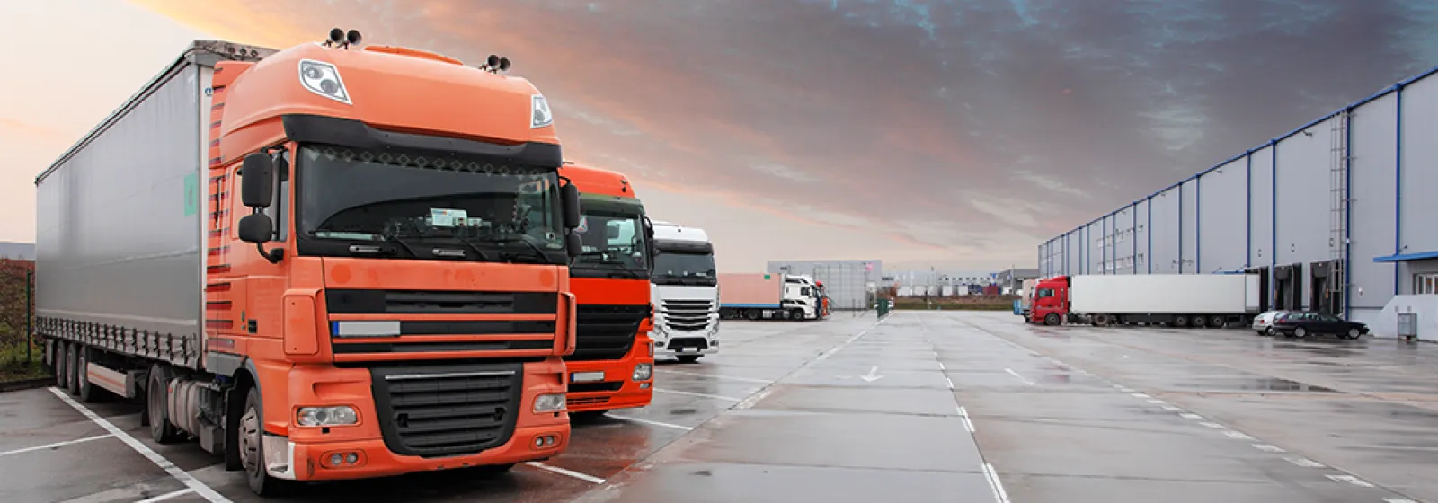

Accommodating the anticipated growth in freight movement requires a regional planning approach focused on efficiency and sustainability. NYMTC's member agencies and staff collaborate with a variety of stakeholders in planning for freight transportation in the New York-New Jersey-Connecticut-Pennsylvania metropolitan region. NYMTC's Multi-State Freight Working Group provides a forum for that collaboration.
NYMTC and its member agencies collaborates with various stakeholders in developing a roadmap for improving freight transportation in the New York-New Jersey-Connecticut metropolitan region.

How Freight Moves
Trucks carry 88% of all freight into, out of, through, and within the NYMTC region. NYMTC's Regional Freight Plan identifies ways to increase the mix of rail and waterborne freight and improve the overall movement of all modes of freight transportation in the region.
Clean Freight Corridors Planning Study
Originating from NYMTC's Plan 2045's Freight Plan, the Clean Freight Corridors Planning Study assesses opportunities for the designation and development of Clean Freight Corridors within the NYMTC planning area and across several states. The study identifies a series of roadways to best advance high-efficiency, low-emission alternative transportation technologies for all types of vehicles that ship freight.
Regional corridors were analyzed as potential regional locations for fueling and charging infrastructure necessary to support electric and alternative-fueled vehicles. Recommended corridors were determined to have the best potential for accommodating these vehicles, based on current and future vehicle volumes, technology development trends, freight movement, and trip patterns and types.
Additional information on the Clean Freight Corridors Planning Study →
Regional Freight Land Use Study
NYMTC's Regional Freight Land Use Study, recommended in the current Plan 2045's Regional Freight Plan, is collecting and analyzing freight and industrial land use data in the NYMTC planning area and larger multi-state metropolitan region. The study will use these data to define current, recent, and projected future land use designations and locations of freight businesses. The study is assessing potential changes in freight-related and industrial land uses across the region by developing a freight land use “typology” that identifies and describes key categories of freight land use. This typology also identifies examples across the region and describes trends and key issues specific to each category.
Additional information on the Regional Freight Land Use Study →
MAP Forum Coordinated Freight Planning Activities
NYMTC is an active member of the Metropolitan Area Planning (MAP) Forum which is a consortium of 10 Metropolitan Planning Organizations (MPOs) and Councils of Government (COGs) from Connecticut, New Jersey, New York and Pennsylvania that have entered into an agreement to better coordinate planning activities in the multi-state region. In May 2020, the MAP Forum, in partnership with the New York City Economic Development Corporation, the New York City Department of Transportation and the New Jersey Department of Transportation, conducted an electronic survey of truck drivers serving the multi-state New York City metropolitan region.
Download the Summary Report:
“Delivering Goods During the Pandemic: A Survey of Truck Drivers Serving the New Jersey,
Pennsylvania, New York and Connecticut Area"
Truck Rest Stops
The Multi-State Truck Rest Stop Inventory and Assessment Study a collaboration with NYMTC’s partners in the Metropolitan Area Planning (MAP) Forum provides the region with a comprehensive evaluation of existing truck services, both official and informal, and a determination of the need to provide either enhanced services of existing stops or the identification of recommended regional improvements in the metropolitan region.
click to download PDF → Multi-State Truck Rest Stop Inventory and Assessment
East of Hudson Land Use
The East of Hudson area in the NYMTC region suffers from a lack of freight-dedicated land use. This report explores the region’s need for rail freight facilities and looks at other regions where quite a bit has been done with small parcels of land.
click to download PDF → Rail Freight Yard Requirements/Land Assessment for the East of Hudson Area
Hunts Point Studies
NYMTC is always interested in moving freight in ways that are alternatives to trucks. The Hunts Point Freight Ferry study examined freight markets and commodities that could be addressed by a waterborne mode.
click to download PDF → Hunts Point Ferry Study
Feasibility of Waterborne Truck Service From Hunts Point Market To Midtown Manhattan
In May 2007, NYMTC undertook an analysis of providing some means of barge or ferry service to Manhattan for the trucks and vans serving the new Fulton Fish Market and other markets in Hunts Point. This report examines the issue through several categories of related topics: tides and waterways, landing sites, vessel types, operational types and possible operating plans, issues and costs.
click to download PDF → Feasibility of Waterborne Truck Service From Hunts Point Market To Midtown Manhattan
New York State Freight Network Atlas 1.0
The New York State Freight Web Atlas is an interactive, web-based map includes various freight-related transportation facilities that have been identified to date under the current New York State Freight Transportation Plan development process. The Web Atlas is a work-in-progress that we will update periodically.
click to download PDF → New York State Freight Network Atlas 1.0
Archived Freight Planning Programs and Projects
Link to Archived Freight Planning Programs and Projects
Freight Data Files
Freight data and reports from 1995 - 2001
Compendium of Freight Information, November 1997
Download compend.pdf
This report identifies the most significant existing and emerging technologies which affect or could affect freight transportation in the New York Metropolitan region.
Download techfreight.pdf
Annual Update for the Freight Facilities and System Inventory report, August 2001
Download inv_update2001.pdf
The report Truck Terminals and Warehouse Survey Results is based on a survey conducted in 1999 and 2000 by the NYMTC staff and other agencies
Download 2001WhseReport.pdf
Appendix A is a part of the report Truck Terminals and Warehouse Survey Results, and includes a list of facilities covered by survey, including names and addresses, contact names and telephone numbers
Download AppA_Wareh2001.pdf
Appendix B is a part of the report Truck Terminals and Warehouse Survey Results, and includes a list of physical and operational description of all surveyed facilities, by county of location
Download AppB_Wareh2001.pdf
Appendix C is a part of the report Truck Terminals and Warehouse Survey Results, and includes description of freight transportation and warehousing problems listed in survey
Download AppCWareh2001.pdf
Freight Inventory 2000
Download inv2000.zip
Freight Data at a Glance - Reebie Data
Download JLREEB.pdf
Freight Data at a Glance
Download JLBROCHU.pdf
Glossary 08/22/95
Download GLOSSAR4.pdf
Archived Freight Planning Programs and Projects
Link to Archived Freight Planning Programs and Projects