 New York Metropolitan Transportation Council
Global Positioning System
Data collection utilized Global Positioning System (GPS) loggers as well as stopwatches and clipboards for data collection in Manhattan where street canyons can interfere with GPS operation.
Report
Released in April 2012, data collection occurred during 2011.
Travel Time and Travel Speed Study in the NYMTC Region
Appendix A: Bronx County Route Maps
Appendix B: Kings (Brooklyn) County Route Maps
Appendix C: New York County Route Maps
Appendix D: Queens County Route Maps
Appendix E: Richmond County Route Maps
Appendix F: Nassau County Route Maps
Appendix G: Suffolk County Route Maps
Appendix H: Putnam County Route Maps
Appendix I: Rockland County Route Maps
Appendix J: Westchester County Route Maps
Study Application
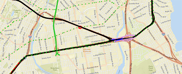
Access the Travel Time and Travel Speed Study Application to see hourly speeds in miles per hour. Go to Study Application→